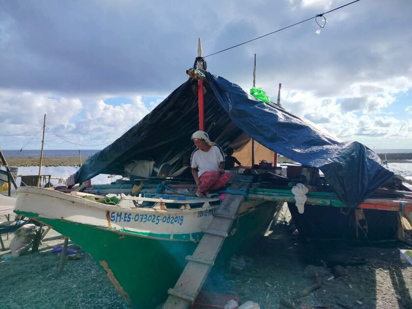
Tañon Strait is particularly the fishing grounds of Eastern Negros Occidental and Negros Oriental and Western Cebu. Study shows that Tañon Strait have the highest number of gillnets (kurantay (drift gillnets) Palabay (bottom gillnets), patuloy (surface-set gillnets), hooks and lines (pamasol) and squid jigs among the major fishing grounds of Central Visayas. Beach seine (sahid / baling) is also concentrated in Tañon Strait, although declared illegal is tolerated.
Oil Exploration
In a desperate effort to achieve energy independence within six years under the Medium-Term Philippine Development Plan (MTPDP, 2004-2010), the government has been awarding service contracts to various foreign oil and gas exploration companies around the country. To date, there are 28 Service Contracts, one Geophysical Survey and Exploration Contract (GSEC) and nine Petroleum Energy Contracting Rounds (PERC).
On Dec. 21, 2004 the Philippine government awarded to JAPEX-Philippines, Inc. Service Contract 46, which covers 2,850 square kilometers offshore of Tañon Strait covering 13 barangays in Pinamunghan and Aloguinsan towns in Cebu ; 14 towns and cities in Negros Oriental and four towns in Negros Occidental.
JAPEX-Philippines is a 100-percent subsidiary of Japan Petroleum Exploration Co. Ltd., a leading Japanese upstream company engage in oil and natural gas exploration and production (E & P) activities both in Japan and overseas. JAPEX employs some 1,470 employees worldwide.
In May 2005, JAPEX holds a 751-kilometer multi-channel sub-bottom profiling survey using the M/S Veritas Searcher and two chase boats. It carries a 3.5-kilometer cable.
Seismic surveys are used to determine the structure of underground rock formations by firing explosive charges in the ground. The intense sounds produced reflect back to a receiver to provide information about oil and gas deposits that may lie beneath the seabed.
According to local fisherfolks, the survey operates on a 24-hour basis. They could hear sounds of blasting at an interval of five to 20 seconds much like that of a thunder and as if the ship furrowing the undersea.
According to Energy Undersecretary Guillermo Balce, Tañon Strait is expected to produce 1 billion barrels of oil. Out of this potential reserve, about 100 million barrels of oil can be recovered.
Starting November 10 this year, Japex plans to drill a hole 3,150 meters-deep in an area some 3 kilometers west of Pinamungajan town in western Cebu. JAPEX will use the Mobile Offshore Drilling Unit (MODU), known as Hakoryu V.
If they believe that there is gas, they will set a 7″ liner (steel pipe) to test the well but if the area is negative for gas and oil, they will plug the well with cement and abandon it. Another well within the contracted area will be drilled until they are certain of their data and information.
Major findings
1) Fish Catch Reduction
The team confirmed the fish catch reduction after the Seismic Survey of the R/V Veritas Searcher in May 2005. The fish catch reductions continue up to this day in all areas visited by the team. The average fish catch was drastically reduced by 50-70 percent, from the pre-oil exploration catch of 10-15 kilos a day to only two or three kilos daily.
A local fish called “baga” (bucaobucao) almost vanished in the fishing grounds off the waters of Guihulngan City after the seismic survey. Before the seismic survey, fisherfolks could produce 15-20 kilos but thereafter, they could only catch an average of one to two kilos.
Fisherfolks attributed the drastic reduction of the fish catch to the destruction of the “payao” or the fish aggregating device (also called as artificial reef). The team recorded a total of 136 payao destroyed during the 2-weeks seismic survey.
According to Rene Bulado, the chairperson of the local fisherfolk association Malusay Fish Loving People, a local fisherfolks associations who also serves as a leader of the Guihulngan’s City Fisherfolks Associations Management Council (C-FARMC), said that one of the three boats of the JAPEX is the one destroying the “payao” of the fisherfolks. The bewildered fisherfolks were only handed with a one-page notice right in the middle of the sea.
A payao is an artificial reef made of Styrofoam materials deployed in strategic areas. The use of payao by the local fisherfolks contributes to high fish catch. Gango o Payao is the local name for artificial corral reef and indigenuous fishing technology defined as “man-made” structures set up in marine environment to serve as shelter, source of food, and breeding ground for different fish and other organisms in the absence of the natural habitat.
Its destruction therefore has affected the fish catch of the community. Some of the payao owners were paid but some were not. In Guihulngan and in Calatrava, JAPEX paid the fisherfolks P5, 000 ($112.66 based on last October’s average exchange rate of $1:P44.38) per payao through the intercession of the Department of Agriculture (DA). In some areas, payao owners were paid P4,000 ($90.13). With the exception of Calatrava, most of the areas visited by the team have not replaced the payao.
It must be pointed out that while the project proponent paid the payao owners, the most numerous yet the most affected by the seismic survey have not received compensation for almost a week of being prohibited from fishing, the marginal fisherfolk. Most fisherfolk did not dare to fish near the survey vessel for fear of being rammed or hit.
 Save as PDF
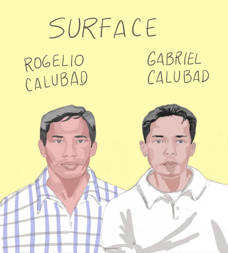


0 Comments